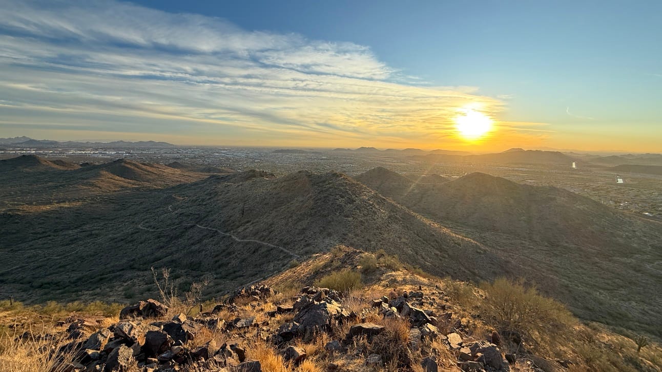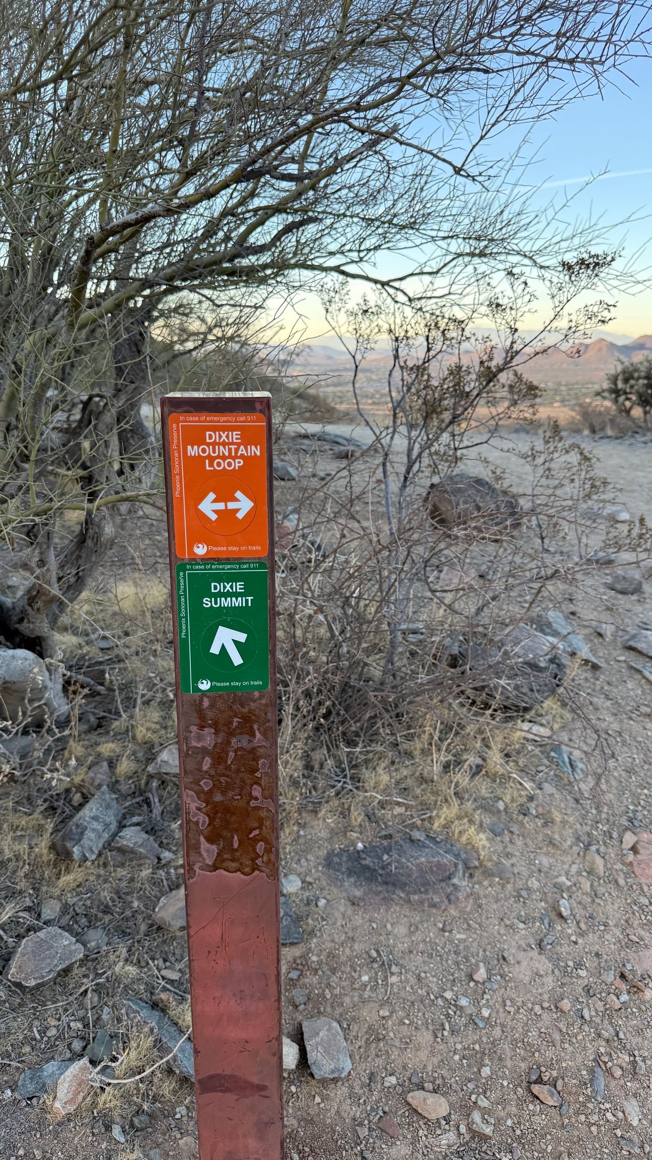
Since this trail is where I had the idea for this newsletter & blog, it is fitting to have it be the first hike I share.
Summary from AllTrails (link):
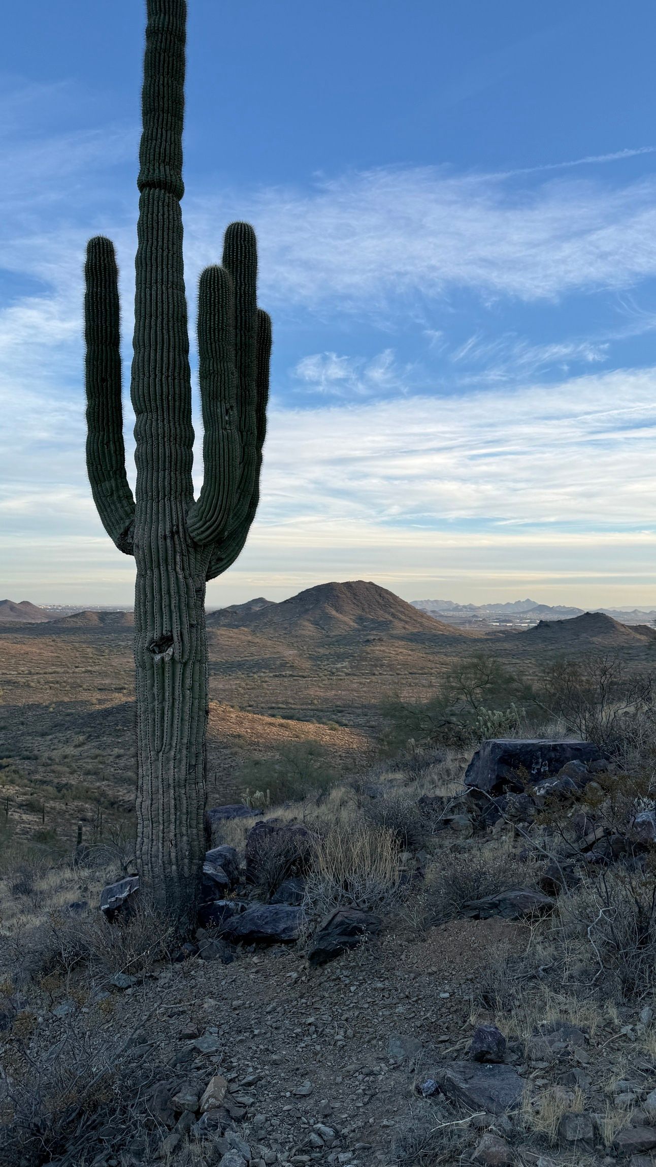
The trail to the summit is steep and short, featuring numerous switchbacks. Hikers will be rewarded with spectacular views of the surrounding area. However, expect challenges such as rocky sections and steep climbs. It is advisable to start early and bring plenty of water. While the trail is dog-friendly, be cautious of cacti that can break off and fall onto the path.
Length: 3.1 miles
Elevation Gain: 646 feet
Estimated time: 1:34
Type: Out & back


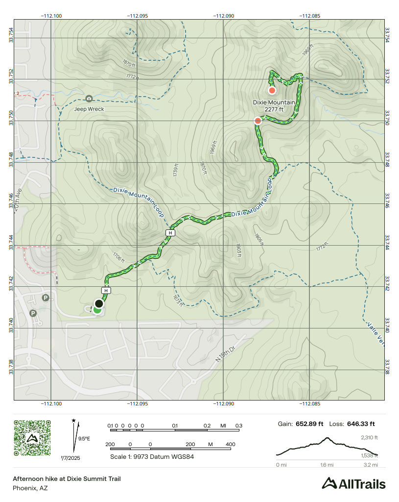
This is the map of my hike, it took me about 90 minutes in total and there was an elevation gain of 653 feet.
This hike had a decent amount of gain, but almost half of the elevation gain was in the last ¼ mile up to the summit. Keep this in mind if you’re planning to reach the peak.
I really enjoyed this area, there are lots of different options and trails you can use. Each time you visit you could take a different route and have a different experience.
I made this hike in November, so the heat wasn’t an issue, but a lot of the hike was in the shade as the trail heads north to the connect to the summit trail.
Decent sized parking lot at the trailhead, that included flush toilets, which is always nice.
Map of the trailhead:


