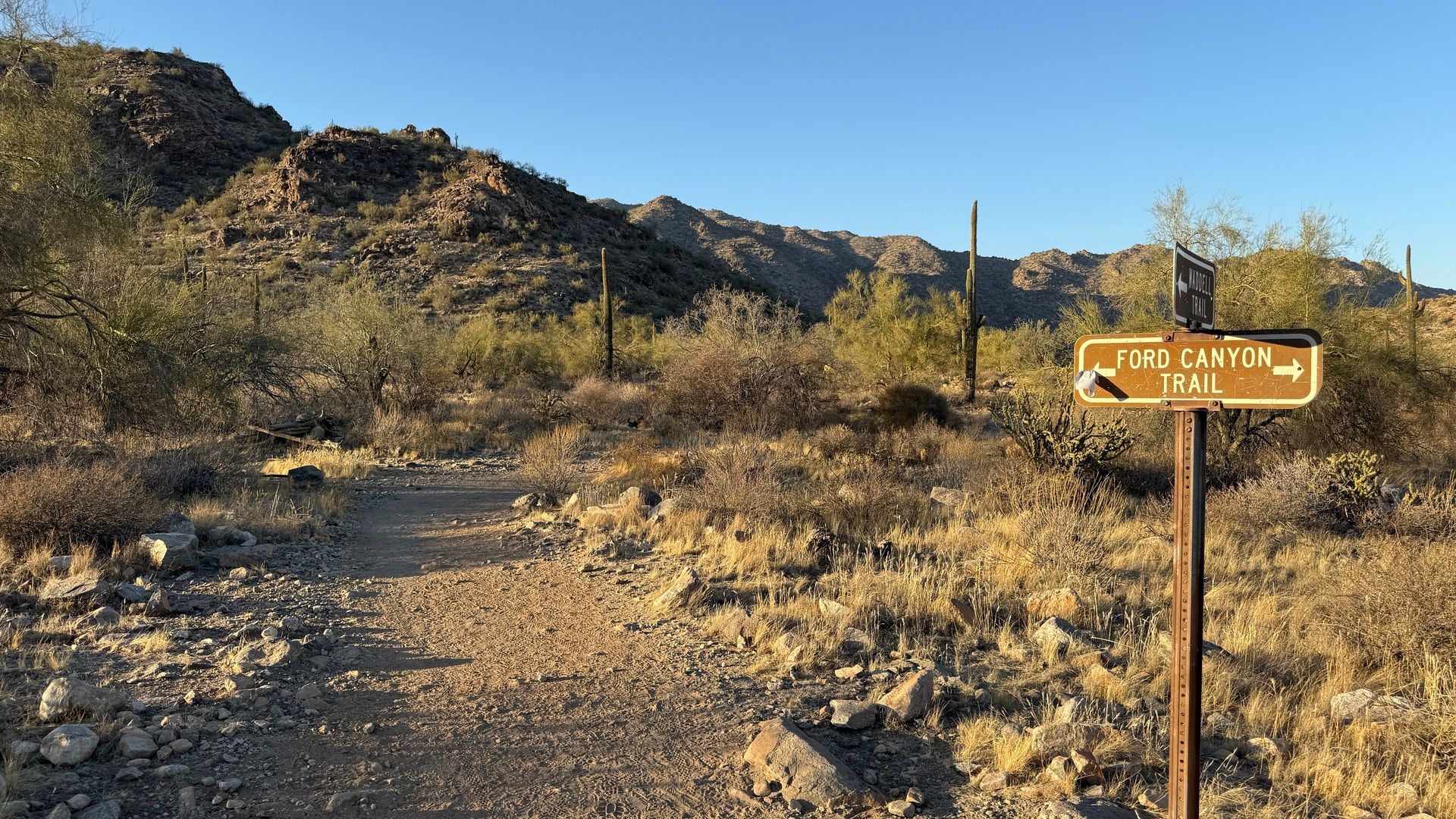
White Tank Mountain Regional Park has quickly become my favorite here in the Valley. It has a bit of a National Park vibe to it, and I typically am out hiking in the afternoon and before sunset, and it is a great spot for that time of day.

It is located in the extreme West Valley, but it is worth the trip.
Welcome to White Tank Mountain Regional Park. Nearly 30,000 acres makes this the largest regional park in Maricopa County. Most of the park is made up of the rugged and beautiful White Tank Mountains on the Valleys west side.
The range, deeply serrated with ridges and canyons, rises sharply from its base to peak at over 4,000 feet. Infrequent heavy rains cause flash floodwaters to plunge through the canyons and pour onto the plain. These torrential flows, pouring down chutes and dropping off ledges, have scoured out a series of depressions, or tanks, in the white granite rock below, thus giving the mountains their name.
There are a few different ways to access the Waddell Trail & The Ford Canyon Trail, I typically park at the trailhead that is located on Ford Canyon Loop Road, (map). This cuts off about a half mile from the larger Waddell Trail parking lot (map). This lot has restroom facilities with flush toilets.
Summary from AllTrails (link):
Explore the beauty of White Tank Mountain Regional Park by traversing a combination of the well-marked Waddell Trail and Ford Canyon Trail. The first couple of miles are relatively flat, easygoing and suitable for mountain biking and horse riding. Once you reach the sign indicating hazardous conditions ahead, the climb into the canyon begins. From this point onwards, hikers will need to scramble across big boulders, and bikes and horses are advised to turn back. The area's scenery is beautiful, and visitors will be treated to amazing views of the city and surrounding area most of the way
Length: 6.1 miles
Elevation Gain: 705 feet
Estimated time: Various
Type: Out & back, with optional loop


This is the map of my hike from December 2024. It took me about an hour and 30 minutes in total and there was an elevation gain of 305 feet.
This trail is part of a much larger loop, but it can be an out and back hike, at whatever distance you are comfortable with. I am usually there at sunset and have to decide to turn around with enough time to get back to the car before I run out of daylight and the coyotes start chasing me.
Most of this hike is relatively flat, until you get to the west end of the canyon, at which point it begins to head up in elevation.
There are several donated benches honoring people who loved this area, which offer a good spot to rest and soak in the views.
This is a great trail if you’re looking to get into the desert and experience the mountains without an overly strenuous push to a peak. One of my favorite things about this trail is once you get a bit of the way into it, there is a strong sense of being the only one out on the trail.


